Your cart is empty!
From high castles to underwater villages: A Grand Tour of Alentejo

It was not going according to plan. The expected balmy temperatures of early fall were nowhere to be found, and my watch showed instead 40°C (105°F). The morning breeze had turned into a strong headwind, resisting my every pedal stroke and clinging to my face like a hot damp towel. What had seemed like a gentle slope on paper had turned into a never-ending uphill. The horizon flickered under the heat, but did not seem to get any closer.
In retrospect, I would repeat those 5 days and 500 km (315 miles) of cycling in a heartbeat. Some of that bravado comes from the fact that I am reminiscing from a comfortable chair under a cool shade, but it is also a realization that a certain degree of penitence is required to fully appreciate the beauty of inland Alentejo.
Away from the coastline and out of sight from the main tourist hotspots, this is a land of contradictions. The picturesque castles and fortifications, perched on every village and hilltop, hide a past of brawls that go back to the Romans and extend into the 19th century French invasions. The beautiful but barren golden landscapes, spotted only with occasional cork trees, reflect the region’s propensity for long periods of drought.
Stage 1: A climb to the bottom of a lake
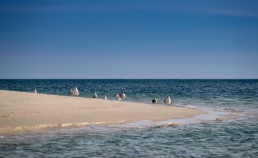
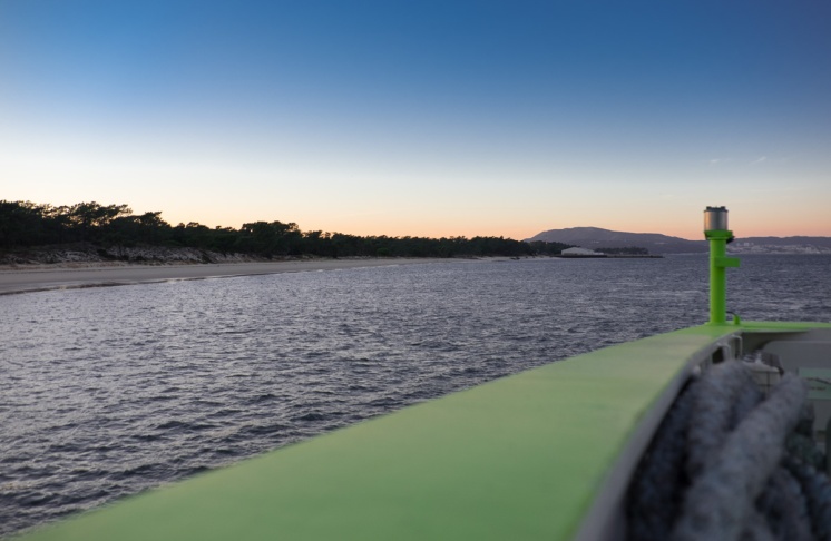
A train ride and a ferry crossing left me at Tróia, the beginning of my journey. Pushed forward by a gentle tailwind and with views of white sandy beaches on the left and on the right, those first miles down the long and narrow peninsula went by quickly.
Before I knew it, I was in Alcácer do Sal. Pleased with the progress, I leisurely sat down next to the river, having a drink. The television of the nearby little coffee shop was showing the local news, fraught with accounts of farmers desperate with the prolonged drought.
When I finally got out of the shade and onto the saddle, the sun was already high and the temperature had increased sharply. I navigated out of town and found the road that would take me further inland, crossing those very same lands affected by the shortage of water. A few miles were all that it took for reality to settle in: this was going to be much harder than anticipated. The oppressive heat pressed down on my back, while the headwind forced hot air down my throat. It felt like getting into a car that had sat under the sun for the entire day.
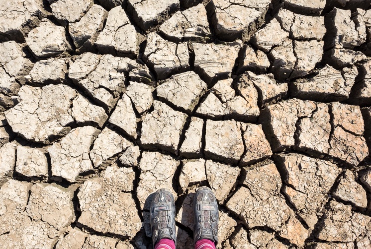
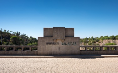
After a long winding uphill, I arrived to the Pego do Alter dam. Perched on the high plains of Alentejo, this dam was at the centre stage of the region’s dry spell. The basin had less than 10% of its full capacity, exposing the entire underbelly of the dam. Barren and worn-out, the entire setting wouldn’t seem out of place on a dystopian movie set. Adding to the Orwellian theme, somebody had sprayed back ‘Salazar’ to the dam’s nameplate (inaugurated in 1949, the dam was originally named after the fascist dictator that once ruled Portugal).
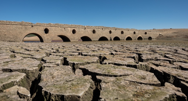
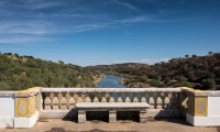
Further upstream, an old bridge sat on the middle of the empty reservoir, half hidden by fissured mud. Built in the 19th century to connect two neighbouring villages, it went underwater when the dam was built, and only becomes visible during the worst of droughts. I was in no mood to appreciate the irony of climbing the entire afternoon to find myself next to a bridge buried at the bottom of a lake, so I quickly got out the sun and went looking for a cool drink.
Stage 2: A ridge of high castles
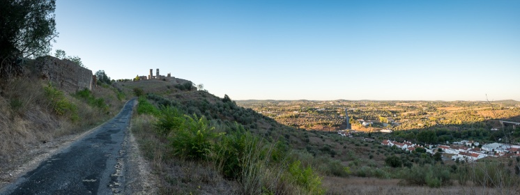
On the second day I got back to the road slightly before sunrise, eager to advance as much as I could before the heat set in. The day’s stage would take me close to the Spanish border, riding a ridge of hilltop castles. The first one was at Montemor-o-Novo. There was not a single cloud in the sky, and the soft early morning light gently illuminated the town below and the surrounding grounds.
Alentejo is not mountainous by any stretch of the imagination, so the region’s fortifications were erected instead on any crest that was steep enough to offer a vantage point. Throughout history, that military tactic was put to the test numerous times. Romans, Moors, Portuguese, Castilians and the French built, sieged, defended, destroyed and rebuilt these forts many times over.
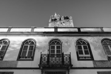
These castles share a history, but are by no means alike. Montemor-o-Novo’s fortifications, sadly in ruins, have uncertain origins that predate the Romans. Arraiolos has one of the world’s few circular forts. Evoramonte’s stronghold was built by Dom Afonso Henriques, Portugal’s first king.
Queen Isabel of Portugal, known for her negotiation and peacemaking skills, died in the Estremoz citadel. Vila Viçosa’s keep sits next to the Ducal Palace, the royal residence of Portugal’s last king.
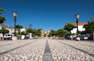
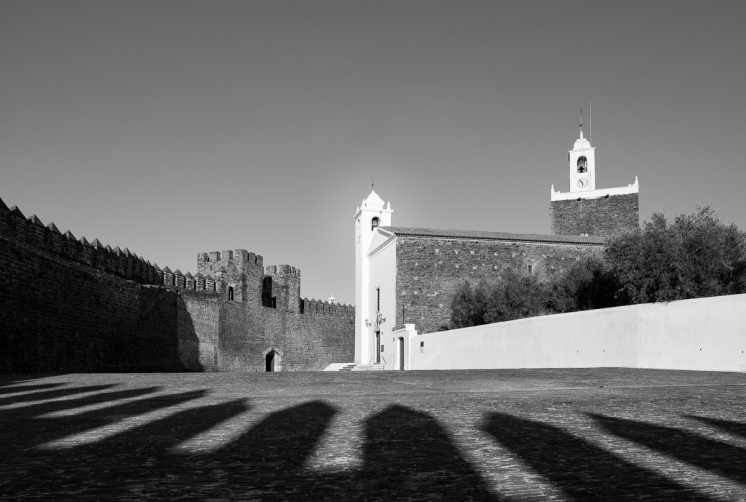
But perhaps royal references are not what make these castles memorable. Shadowed by nearby Vila Viçosa, Alandroal is a small town with a population of less than 2,000. In the middle of this unassuming settlement is one of the most remarkable forts I have ever seen. It is not big, nor particularly well kept, nor does it possess any striking architectural elements.
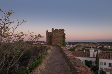
But it continues to be part of the town’s day-to-day life. When I visited it, close to sunset, the entire village seemed to be there. While they attended church, I circled the castle’s walls. To get up there, I climbed the same steep steps used by medieval soldiers and scouts. The only concession made to modern times was a small and inconspicuous sign at the bottom of the stairs, welcoming lost tourists like myself to climb them, but warning that they were precipitous, slippery and devoid of any guard rails.
Stage 3: A bridge over a troubled village
The day’s stage started with a climb to Monsaraz, widely considered as one of the region’s most beautiful medieval towns.
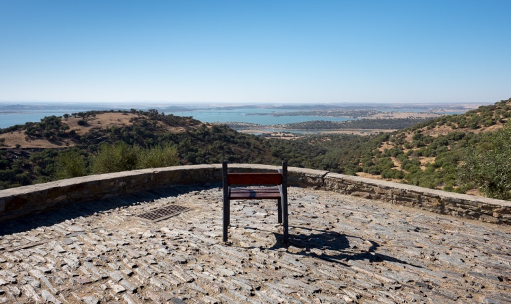
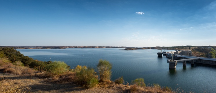
Perched on the tallest hill of a mostly flat portion of Alentejo, Monsaraz offers a bird’s eye view of Alqueva, Europe’s largest artificial lake. In 2002, the construction of the Alqueva dam blocked the flow of the Guadiana river, and its basin slowly started filling up.
It only reached its full capacity in 2010, but by then what was once one of the poorest and driest places in Portugal had changed dramatically. Gone was the low yielding subsistence agriculture, replaced by fertile and abundantly irrigated fields. No other place in the world produced as much corn, olives and grapes per hectare as Alqueva.
But not everyone was happy. Environmentalists lamented the unique flora and fauna lost to the rising waters. Archaeologists entombed the remains of an old Roman fort in concrete, trying to keep it safe from erosion.
But perhaps the most striking compromise happened in Luz. Luz – which literally means “light” in Portuguese – was a small village that is now submerged under the dark waters of Alqueva. The twisted irony caused much grief to the village’s inhabitants, which witnessed their village being bulldozed over and its remnants slowly engulfed by the rising waters.
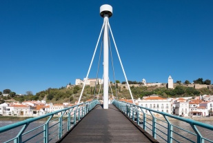
After descending from Monsaraz and crossing the long bridge that goes over the Alqueva lake, I stopped at the new Luz village, where the people of the old submerged village now live. The new buildings, despite being a faithful image of the old ones, lacked the character that perhaps only time can give them. I followed the main street till it abruptly ended in the lake. There was a sign, pointing to where the old village once stood, not far from the shore. To the left stood the church, with a cross apparently made with timber recovered from water, with limpets still clinging to its surface. To the right I could see a narrow boardwalk, which awkwardly meandered through dry land before reaching water. The entire setting seemed like a mausoleum, forever reminding its residents of what they have lost.
Stage 4: The rolling golden hills
By the fourth day, the heat had subsided. Gone were the scars of the drought, the looming castles and the underwater villages. Removed of its hardships, Alentejo showed its softer side.
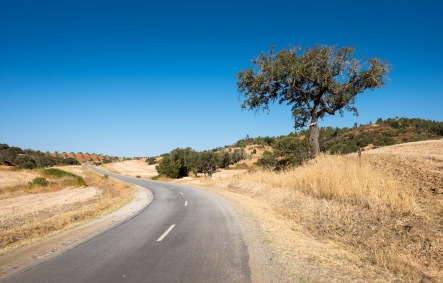
I spent the day rolling through the gentle slopes of lower Alentejo, enjoying a procession of golden fields set against deep blue skies. Allow me to digress for a moment on why I enjoy cycling. I find it akin to reading a book, an occupation that can demand as little attention as watching TV, to as much investment as a good conversation with a friend. Cycling through a long stretch of road is the same: stunning surroundings will capture my full attention; less memorable ones give me the opportunity to wonder about other things.
Stage 5: Following the river back to the ocean
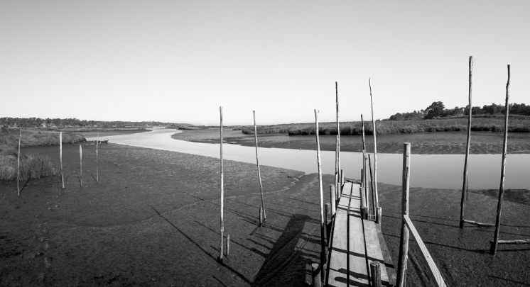
For most of the final stage I followed the course of river Sado back to the ocean. As the river thickened, golden hills were replaced by rice fields, and then rice fields were replaced by fishing piers, till I was finally back to the open ocean.
As the amount of water increased, so did the hustle and bustle. Cars zoomed by me, while the horizon slowly filled up with buildings. Once back to Tróia, and while waiting for the ferry, I compared my present surroundings with those of the previous days. Would I prefer living with the busy comforts of the coast, or the serene discomforts of inland? I felt myself leaning towards the latter, but one perhaps favours what one has never had.
Follow Romeu's travels on his blog: https://julesvernex2.com/


